I had a chance to cover Westward Expansion with some of my 8th graders this year - something I haven't been able to do in several years. This meant that I was able to do one of my favorite activities - Angry Tiki-God Water Polo.
Okay, not actually. I just haven't come up with a really good name for it yet.
Basically, here is what the activity involves though:
1) I download and print several pioneer memoirs and diaries.
2) I break the students up into teams of three and let each team pick which memoir they want to study.
3) The students use highlighters to mark towns and landmarks mentioned in their memoir.
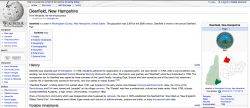
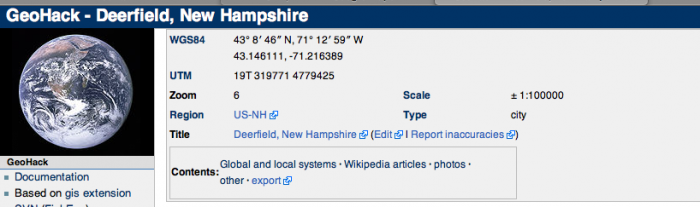
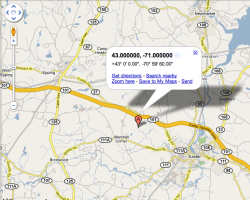
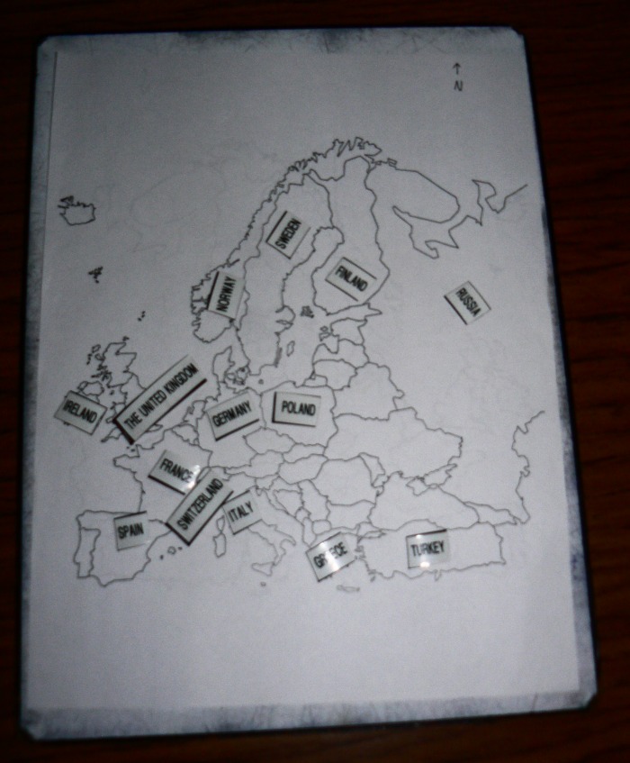
4) The students look up the places on a map. Internet mapping sources are somewhat useful for this, but many of the 19th Century place names can't be found on modern maps, so GoogleMaps isn't foolproof. A better resource has turned out to be the atlas from the 1957 Encyclopedia Britannica. I had already owned one copy of this awesome atlas (for my money, the best one ever printed) and found another at the swap shop at my Town Dump, but I had to order five or six additional copies from eBay.
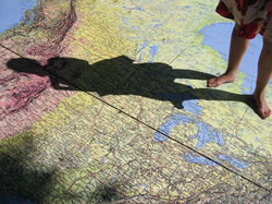
5) Students then map the pioneers' routes on laminated U.S. maps and describe the voyage.
I've got a particularly engaged group of students this year, but I've gotten a lot of buy-in from them and this project seems like a keeper.
Okay, not actually. I just haven't come up with a really good name for it yet.
Basically, here is what the activity involves though:
1) I download and print several pioneer memoirs and diaries.
2) I break the students up into teams of three and let each team pick which memoir they want to study.
3) The students use highlighters to mark towns and landmarks mentioned in their memoir.
4) The students look up the places on a map. Internet mapping sources are somewhat useful for this, but many of the 19th Century place names can't be found on modern maps, so GoogleMaps isn't foolproof. A better resource has turned out to be the atlas from the 1957 Encyclopedia Britannica. I had already owned one copy of this awesome atlas (for my money, the best one ever printed) and found another at the swap shop at my Town Dump, but I had to order five or six additional copies from eBay.
5) Students then map the pioneers' routes on laminated U.S. maps and describe the voyage.
I've got a particularly engaged group of students this year, but I've gotten a lot of buy-in from them and this project seems like a keeper.
Pioneer Memoirs from John Fladd on Vimeo.
New Hampshire State Social Studies Frameworks and Standards met by this project:
SS:CV:8:3.2: Analyze environmental, economic, and technological developments and their impact on society. (Themes: C: People, Places and Environment, D: Material Wants and Needs, G: Science, Technology, and Society)
SS:GE:8:1.1: Compare relative advantages and disadvantages of using maps, globes, aerial and other photographs, satellite-produced images, and models to solve geographic problems, e.g., the Mercator projections versus Robinson projections. (Themes: C: People, Places and Environment)
SS:GE:8:2.3: Describe how culture, technology, and experience affect perception of places and regions, e.g., images created by mass media or travel. (Themes: E: Cultural Development, Interaction, and Change, F: Global Transformation, G: Science, Technology, and Society)
SS:GE:8:3.1: Recognize how physical processes influence the formation and distribution of resources, e.g., the potential for hydroelectric power or coal deposits. (Themes: C: People, Places and Environment, G: Science, Technology, and Society)
SS:GE:8:4.1: Describe ways in which physical and human regional systems are interconnected, e.g., canal systems or "hub-and-spoke" airline operations. (Themes: C: People, Places and Environment, G: Science, Technology, and Society)
Students will be able to find social studies-related information:
Students will be able to comprehend the wide range of social studies-related materials by using skills:
Students will be able to find information:
Students will be able to present information in a variety of ways:
SS:GE:8:1.1: Compare relative advantages and disadvantages of using maps, globes, aerial and other photographs, satellite-produced images, and models to solve geographic problems, e.g., the Mercator projections versus Robinson projections. (Themes: C: People, Places and Environment)
SS:GE:8:2.3: Describe how culture, technology, and experience affect perception of places and regions, e.g., images created by mass media or travel. (Themes: E: Cultural Development, Interaction, and Change, F: Global Transformation, G: Science, Technology, and Society)
SS:GE:8:3.1: Recognize how physical processes influence the formation and distribution of resources, e.g., the potential for hydroelectric power or coal deposits. (Themes: C: People, Places and Environment, G: Science, Technology, and Society)
SS:GE:8:4.1: Describe ways in which physical and human regional systems are interconnected, e.g., canal systems or "hub-and-spoke" airline operations. (Themes: C: People, Places and Environment, G: Science, Technology, and Society)
Students will be able to find social studies-related information:
- Use economic and geographic data, historical sources, as well as other appropriate sources
- Discriminate to select the most worthwhile and trustworthy sources
- Draw on the diversity of social studies-related sources, such as auditory and visual sources, such as documents, charts, pictures, architectural works, and music.
Students will be able to comprehend the wide range of social studies-related materials by using skills:
- Distinguish between primary and secondary sources.
- Detect cause and effect relationships
- Distinguish between facts, interpretations, and opinions
- Recognize author bias; recognize propaganda
- Test the validity of information by using such criteria as source, objectivity, technical correctness, currency
- Draw from the source information at a level appropriate to the task at hand, i.e., skimming for facts or probing for deeper meaning
- Utilize various types of sources such as documents, charts, images, artifacts, and maps
Students will be able to find information:
- Use appropriate sources to gain meaning of essential terms and vocabulary, glossary, dictionary, texts, word lists
- Recognize and understand relevant social studies terms.
Students will be able to present information in a variety of ways:
- Present visually (chart, graph, diagram, model, Power Point, etc.)
- Present orally (presentation, debate, group discussion, simulation, etc.)


 RSS Feed